


Map hierarchies
Subareas can in turn contain additional areas. The structure follows your setup.
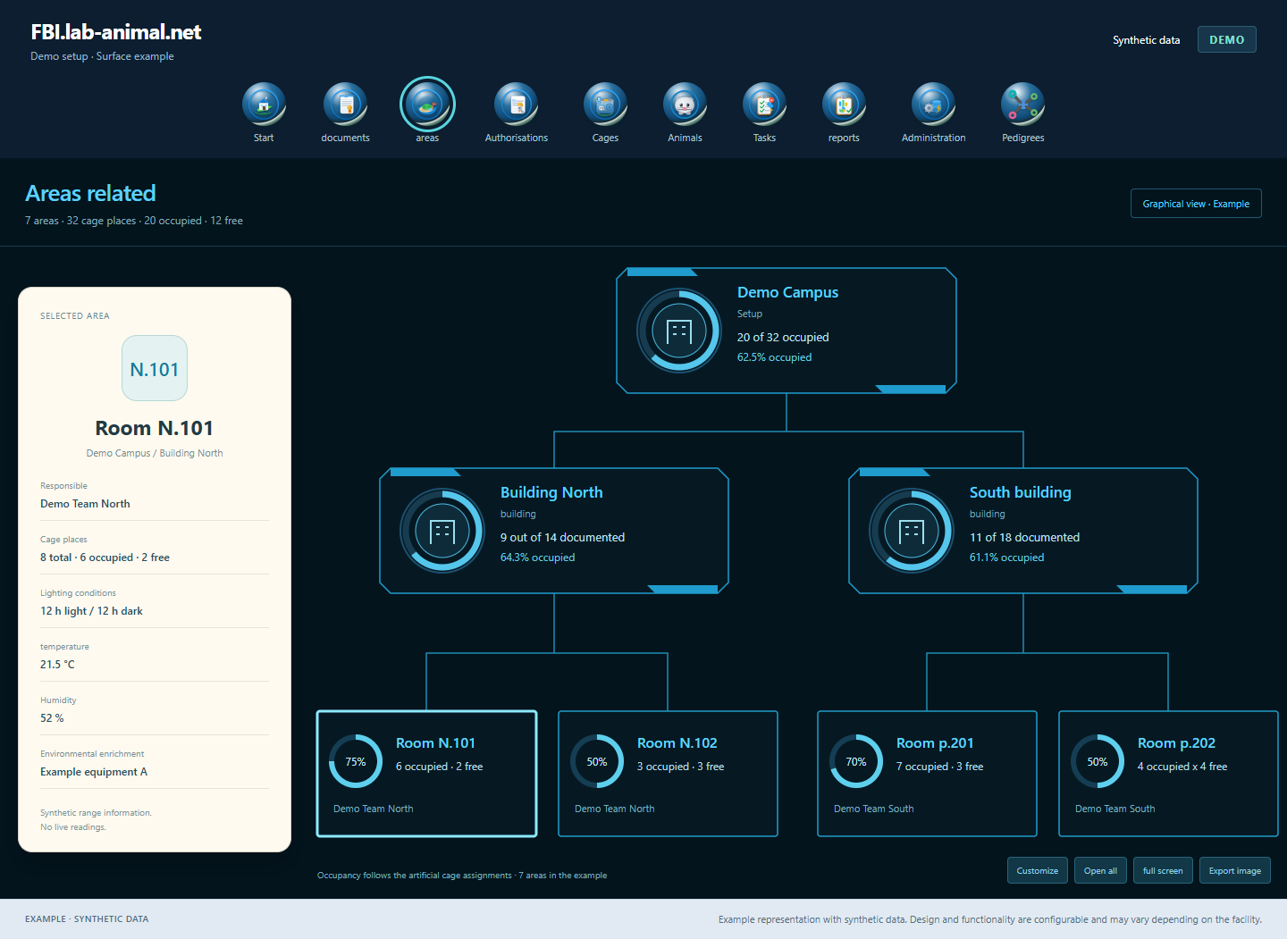
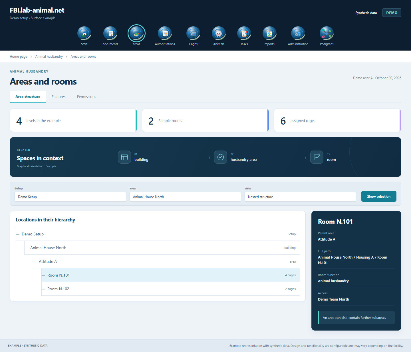
Areas can be arranged hierarchically one below the other: from the building to a housing unit to the room. Each location remains integrated into its overarching structure.
Subareas each belong to a parent location.
Function example with synthetic data
Subareas can in turn contain additional areas. The structure follows your setup.
Responsible persons and care details remain at the respective location.
Documented information about light, temperature or humidity can be stored in the area.
Graphical area structure with occupancy rings and details about the selected room.
The area structure connects rooms, cages and animals to the structure of your facility. This allows your team to move from location to related information.
Choose a sensible starting point for the spatial structure.
Arrange building parts, units and rooms appropriately.
Capture responsible and descriptive husbandry information.
Switch from the location to the associated cage and animal management.
Map your spatial structure with any subordinate areas and connect locations, responsibilities and attitude information.
From the building to the housing unit to the room: Each area can contain further sub-areas. The structure follows the structure of your facility.
Responsible people and husbandry information such as lighting conditions, temperature or humidity are documented at the location. Cages and animals can be classified in this spatial context.
Example representation with synthetic data. Design and functionality are configurable and may vary depending on the facility.
Together we will clarify what scope suits your facility and what the introduction can look like.
Let’s talk